Severe thunderstorm warning through 6 a.m.
Published 5:35 am Monday, April 15, 2019
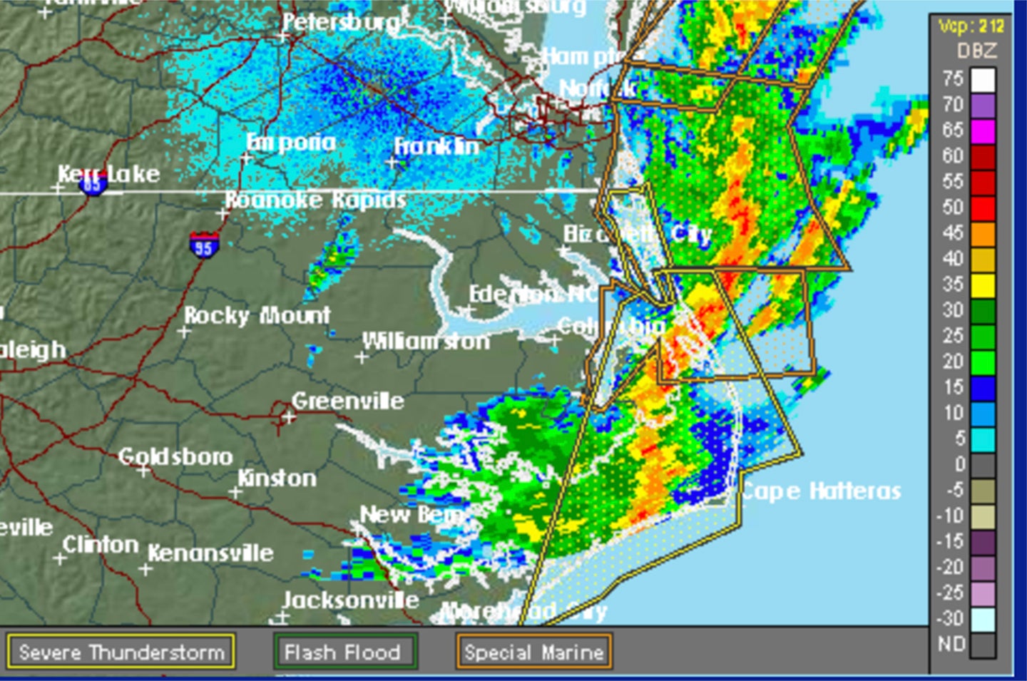
The National Weather Service Newport/Morehead City has issued the following severe weather statement:
“Severe Weather Statement
National Weather Service Newport/Morehead City NC
516 AM EDT MON APR 15 2019
“NCC031-055-095-177-151000-
/O.CON.KMHX.SV.W.0005.000000T0000Z-190415T1000Z/
Hyde NC-Dare NC-Tyrrell NC-Carteret NC-
516 AM EDT MON APR 15 2019
“…A SEVERE THUNDERSTORM WARNING REMAINS IN EFFECT UNTIL 600 AM EDT
FOR EASTERN HYDE…DARE…EAST CENTRAL TYRRELL AND NORTHEASTERN
CARTERET COUNTIES…
“At 516 AM EDT, severe thunderstorms were located along a line
extending from 6 miles northeast of Sanderling to 11 miles southeast
of Atlantic, moving northeast at 50 mph.
“HAZARD…60 mph wind gusts.
“SOURCE…Radar indicated.
“IMPACT…Expect damage to roofs, siding, and trees.
“Locations impacted include…
Kill Devil Hills, Stumpy Point, Frisco, Southern Shores, Buxton,
Salvo, Manns Harbor, Waves, Avon, Gull Rock, Nags Head, Atlantic,
Rodanthe, Mashoes, Manteo, East Lake, Sanderling, Colington,
Whalebone and Nebraska.
“PRECAUTIONARY/PREPAREDNESS ACTIONS…
“For your protection move to an interior room on the lowest floor of a building.
“Please send your reports of hail and/or wind damage, including trees or large limbs downed, by calling the National Weather Service office in Newport at 1-800-889-6889.
“HAIL…<.75IN
WIND…60MPH
More News


-
Polls
 Loading ...
-
-