Cape Hatteras National Seashore invites public participation in development of a sand management framework
Published 12:13 pm Sunday, April 19, 2020
|
Getting your Trinity Audio player ready...
|
On Friday, April 10, the National Park Service published a notice of intent to prepare an Environmental Impact Statement for sediment management in the Cape Hatteras National Seashore.
The park service wants to develop a streamlined framework for implementing sediment or sand management. The framework would include the method, location and frequency for sediment management actions that may be permitted over the next 20 years.
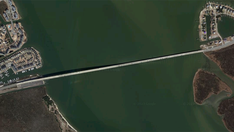
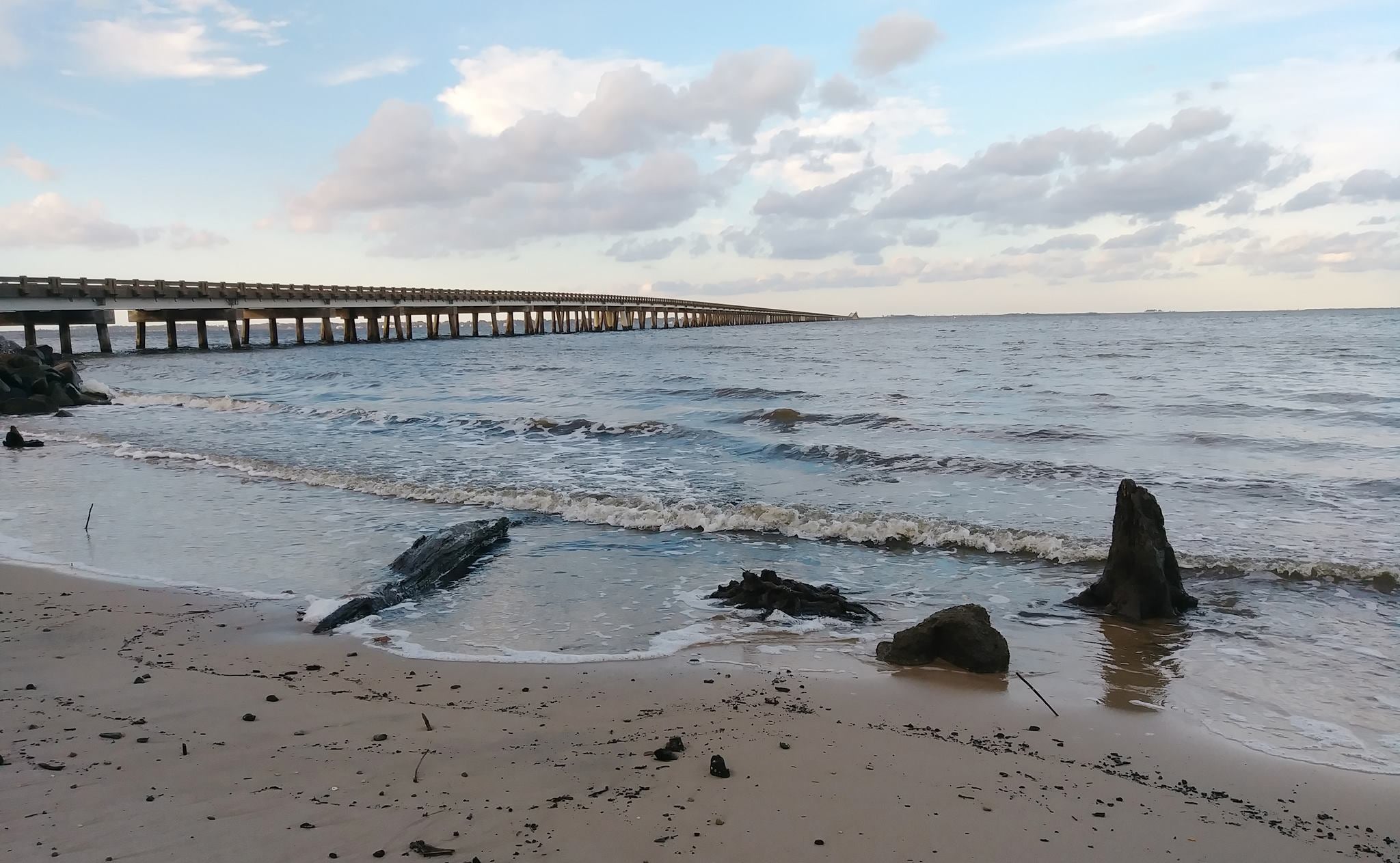
The Seashore has received various requests and anticipates future requests to issue special use permits for protecting roads, bridges, electrical transmission facilities and other public transportation facilities; repairing island damages, including breaches that also affect transportation; and restoring habitat through the placement of dredged materials along eroded sections of barrier islands.
As part of the EIS process, the park service will collaborate with several cooperating agencies, including the Army Corps of Engineers, the Bureau of Ocean Energy Management, Dare County, the Fish and Wildlife Service, Hyde County, the North Carolina Department of Transportation and the North Carolina Wildlife Resources Commission.
The April 10 publication of the Notice of Intent in the Federal Register initiates the formal National Environmental Policy Act process and begins a 30-day public scoping period.
As part of the public scoping process, the NPS will host four virtual meetings via webinar. The public is invited to attend these meetings to learn more about the scope, issues and alternatives, ask NPS representatives questions and provide comments.
Comments are to be submitted electronically at https://parkplanning.nps.gov/CAHASediment, the preferred method, or mailed to Superintendent, Cape Hatteras National Seashore, 1401 National Park Drive, Manteo, NC 27954. Deadline to submit comments is May 10, 2020.
Virtual Public Scoping Meetings are planned for April as follows:
¾ Public Scoping Webinar 1: April 20, 11:30 a.m. to 12:30 p.m.
¾ Public Scoping Webinar 2: April 21, 7 to 8 p.m.
¾ Public Scoping Webinar 3: April 22, 6 to 7 p.m.
¾ Public Scoping Webinar 4: April 23, 5:30 to 6:30 p.m.
Virtual meeting registration links are available at https://parkplanning.nps.gov/CAHASediment.
Additional Details
The Public Scoping Newsletter provided with the announcement has additional information.
Based on discussions among the planning team and subject matter experts, a preliminary list of impact topics has been developed that will be analyzed in detail in the EIS:
¾ Littoral Processes and Barrier Island Morphology
¾ Benthic Organisms and Essential Fish Habitat
¾ Sea Turtles
¾ Listed Shorebird Species
¾ Structures and Infrastructure
Preliminary Alternatives
States the newsletter, “the NPS has developed preliminary alternatives relative to requests to issue special use permits from agencies including the North Carolina Department of Transportation (NCDOT), Dare and Hyde counties and the U.S. Army Corps of Engineers (USACE) for the purposes of: 1) protecting roads, highways, bridges, ferry terminals, electrical transmission facilities, and other public transportation facilities; 2) repairing island damages, including breaches, that affect transportation or infrastructure; and 3) restoring habitat through the placement of dredge materials along eroded sections of barrier islands.”
Two alternatives are listed in the newsletter.
Alternative A. No Action
Under Alternative A, the National Park Service would not permit sediment management activities at the national seashore over the next two decades. Park partners, such as the NCDOT, currently maintain an easement through the seashore for NC 12, and the no-action alternative would preclude NCDOT from implementing sediment management to protect NC 12 outside of its existing easement.
Other partners, such as Dare County, would not be permitted to perform beach nourishment projects along the Seashore. Other partners that may wish to work with the Seashore to implement sediment management-based habitat restoration projects through the placement of sediment would not be permitted to implement those projects.
Alternative B
Under Alternative B, the proposed action, the park service could permit other agencies and municipalities to conduct, with conditions, sediment management in the form of sound-side and ocean-side beach nourishment, dune restoration, and filling island breaches. Under this alternative, the park service maintains the discretion to approve or deny any future permit requests. The park service would require any proposed actions taking place within beach nesting habitats to occur outside of the nesting season. However, work could occur outside of this timeframe with appropriate mitigations if seasonal conditions threaten project feasibility and/or human safety. The proposed action includes the following elements:
¾ Beach nourishment may be used to mitigate coastal erosion at various sites along the Seashore, including ocean- and sound-side environments. Beach nourishment may occur at up to two locations per year, with an anticipated 50-250 cubic yards of sediment per foot, placed via dredge or sand trucking along approximately three miles of shoreline. Sediment management permitted under the proposed action is expected to fall within the general parameters of past beach nourishment projects.
¾ The restoration of habitat may occur in locations such as the southern end of Hatteras Island and the historic Green Island in Oregon Inlet. Restored habitat would be intended for use by nesting shorebirds and sea turtles. Habitat restoration projects would include the application of dredge material and moving/manipulating sand at the site with heavy machinery. Dredge material may come from the pipeline dredging operations or other sources, provided the sediment is a close match to the sand grain size found at the proposed action site.
¾ Dune reconstruction and enhancement, as well as moving or regrading sand to protect existing access and public facilities, may occur. Actions that promote natural dune building processes, such as beach grass planting and sand fencing, are included in the proposed action and may be carried out.
¾ Emergency breach fill may occur under the proposed action. When inlets, overwash areas, or damaged roadways are caused by wave, water, and wind action during storm events, they may be closed due to roadway reconstruction activities. These projects may include trucking, staging, and pumping sand in from other locations. Based on research, the volume associated with breach fills may range from 109,000 cubic yards to over 1,000,000 cubic yards.
RECENT HEADLINES:
Nags Head assumes $1.5 million in lost revenue, contemplates suspending recycling program
More News


-
Polls
 Loading ...
-
-