Dare County hurricane history since 1985
Published 1:00 am Friday, June 1, 2018
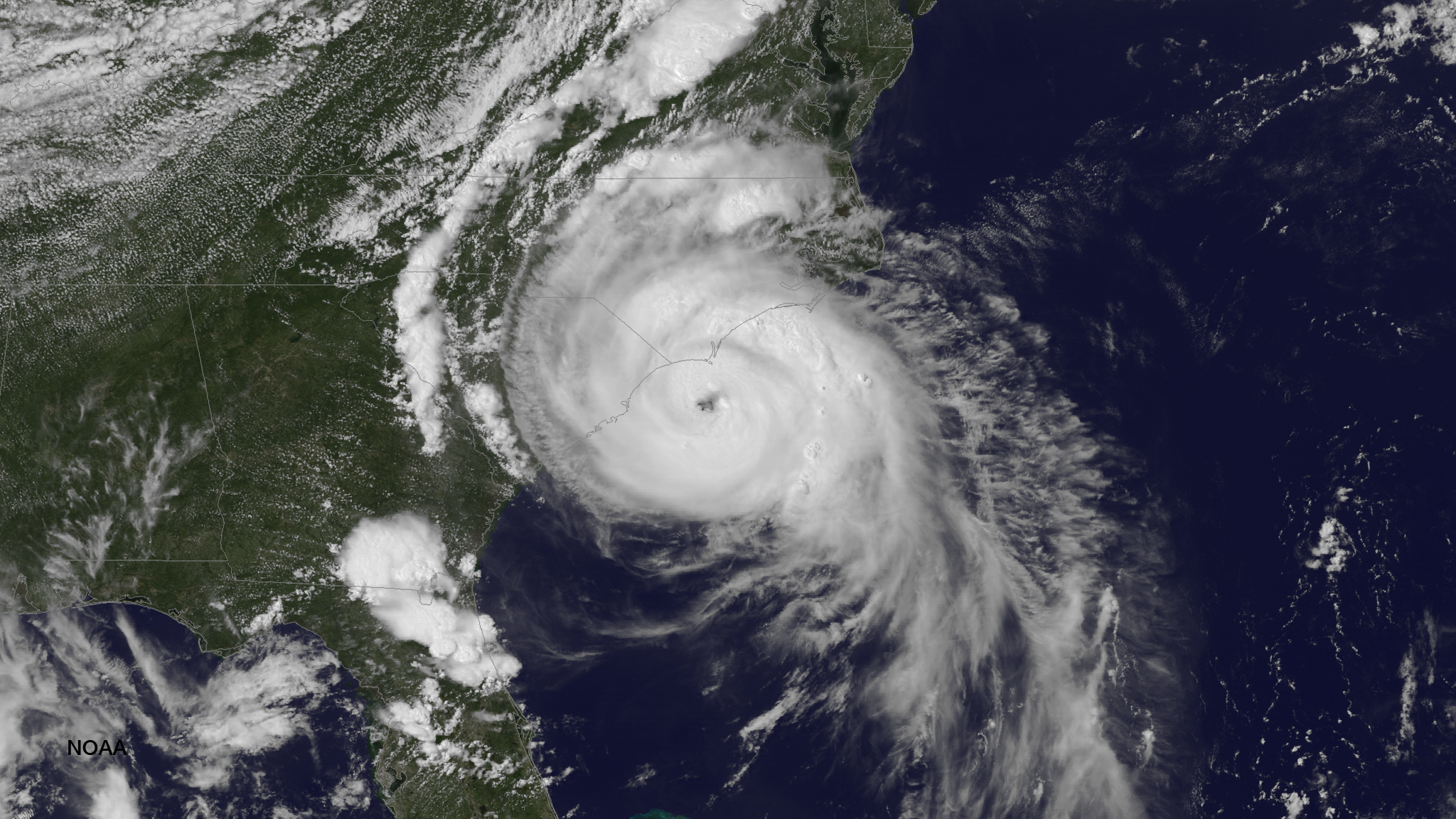
- A NOAA satellite image of Hurricane Arthur bearing down on the East Coast in 2014.
1985 – Gloria
Sept 16 – Oct 2
Max Wind Speed: 144 mph
Landfall: Hatteras – 9/26/85
Category 2 at Landfall with a 6 – 8 ft Storm Surge and 104 mph winds
1985 – Kate
Nov 15 – Nov 23
Max Wind Speed: 123 mph
Landfall in Florida
Affected NC 11/22/85
Tropical Storm when arrived in NC with 52 mph winds
1991 – Bob
Aug 16 – Aug 29
Max Wind Speed: 115 mph
Never made landfall in NC Reached Category 3 off of NC Coast
Hit North Carolina 8/19/91
1993 – Emily
Aug 22 –Sept 6
Max Wind Speed: 115 mph
Never made landfall in NC
Reached Category 3 off of coast
Affected NC 8/31/93
Evacuation – all of Dare County
Estimated $12 million in damages
1996 – Bertha
July 5 – July 17
Max Wind Speed: 115 mph
Landfall: Topsail Beach 7/13/96
Category 2 at landfall with 104 mph winds and a 5 ft Storm surge
Evacuation – all of Dare County
1996 – Fran
Aug 23 – Sept 10
Max wind Speed: 121 mph
Landfall: Cape Fear
Category 3 at landfall with 115 mph winds and an 8-12 ft storm surge
No evacuations in Dare County
1998 – Bonnie
Aug 19 – Aug 31
Max Wind Speed: 115 mph
Landfall: Cape Fear
Category 3 at landfall 6-8 ft storm surge
Evacuation – all of Dare County
1998 – Earl
Aug 31 – Sept 8
Max Wind Speed: 98 mph
Tropical Storm when reached NC
1999 – Dennis
Aug 24 – Sept 8
Max Wind Speed: 104 mph
Landfall: Dare County 9/14/99
Tropical Storm at landfall 69 mph winds
Evacuation – all of Dare County
Estimated $10 million in damages
1999 – Floyd
Sept 7 – Sept 19
Max Wind Speed: 155 mph
Landfall: Topsail Island 9/16/99
Category 2 at landfall with 109 mph winds
Evacuation – all of Dare County
2003 – Isabel
Sept 7 – Sept 29
Max Wind Speed: 160 mph
Landfall: Drum Inlet 9/18/03
Category 2 at landfall with 104 mph winds and 6 – 10 ft storm surge
Created breech in island between Frisco and Hatteras Village
Evacuation – all of Dare County
Estimated $400 million in damages
2004 – Alex
Aug 3
Category 2 at the time of landfall
Caused sound side flooding
Most damage in the form of flooding damage to cars and homes
Estimated $2.4 million in damages
2005 – Ophelia
Sept 13 – Sept 16
Max Wind Speed: 85 mph
Passed NC Coast as a Tropical Storm
Evacuation – Hatteras Island only
Estimated $19,500 in damages
2010 – Earl
Aug 25- Sept 5
Max Wind Speed: 145 mph
Passed 100 miles off of the NC Coast
Evacuation – all of Hatteras Island and Ocean front of all towns
Estimated $500,000 in damages
2011 – Irene
Aug 20 – Aug 28
Max Wind Speed: 120 mph
Landfall just south of the Outer Banks
Evacuation all of Dare County
Significant flooding
Estimated Damages: $53,975,960
2012 – Sandy
Oct 25 – Oct 31
Max Wind Speed: 70 mph
Significant road damage to NC 12 in Kitty Hawk and Rodanthe
7-8 inches of rainfall
Emergency ferry activation due to NC 12 road damage
Estimated Damages: $13+ million
2014 – Arthur
July 3 – July 4
Max Wind Speed: 101 mph
Category 2 at landfall
Earliest hurricane on record
Landfall between Cape Lookout and Beaufort
Mandatory evacuation issued for Hatteras Island
2016 – Hermine
August 28 – Sept 3
Max Wind Speed: 73 mph
Category 1 with tropical sustained winds
Extensive flooding in villages on Hatteras Island
Storm surge of 4 feet about normal tide
Estimated storm damages: $5.4 million
2016 – Matthew
October 7 – October 9
Max Wind Speed: 94 mph
Category 1 with landfall in South Carolina
Highest Dare County wind reported at 94 mph
NWS reported rainfall 12+ inches in Kill Devil Hills
Estimated statewide damages: $1.5 billion
2017 – Maria
Sept 25 – Sept 27
Max Wind Speed: 75 mph
Category 1
State of Emergency Declared
Mandatory evacuation of visitors on Hatteras Island
No estimate of damages available
More Uncategorized


SportsPlus
MEAC Football Power Rankings for Week 9
With Week 9 of the college football schedule upon us, which teams are the leading contenders at the…
Sun Belt Football Power Rankings for Week 9
Week 9 of the college football schedule is here. To find out how every Sun Belt team stacks…
CAA Football Power Rankings for Week 9
As we head into Week 9 of the college football schedule, which team sits on top of the…
Week 9 College Football Computer Picks & Predictions
Wondering about the best bet among all 57 FBS matchups in Week 9? Our choice, in terms of…
How to Watch the MLB Baseball Playoffs on Sunday, Oct. 20: TV Channel, Live Streaming, Start Times
The New York Mets and the Los Angeles Dodgers take the field in one of many compelling matchups…
-
Polls
 Loading ...
-
-