Hurricane warning now in effect
Published 6:12 pm Tuesday, September 11, 2018
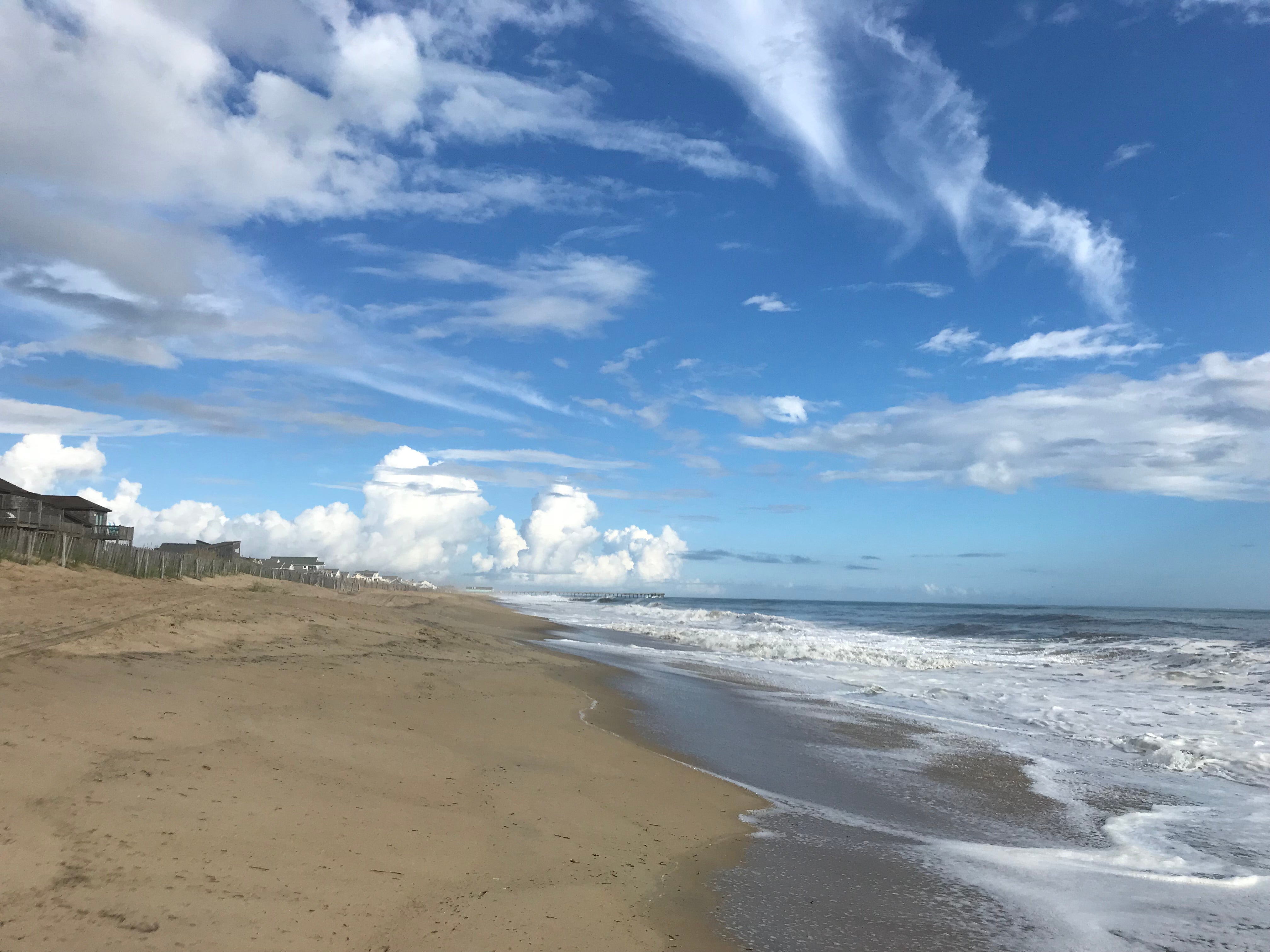
- Empty beach in Kill Devil Hills Tuesday morning.
The National Weather Service has issued a hurricane warning for the entire Outer Banks. A storm surge warning is also now in effect.
A hurricane warning means sustained winds of 74 mph or higher associated with a hurricane are expected within 36 hours. The warning will remain in effect while dangerously high water or a combination of dangerously high water and exceptionally high waves continue, even though winds may be less than hurricane force, the weather service said.
A storm surge warning means there is a danger of life-threatening inundation from rising water moving inland from the coastline, somewhere within this area within the next 36 hours.
In a 5 p.m. statement issued by the weather service’s Morehead City, forecasters outlined expected impacted for the Outer Banks from Hurricane Florence. They include:
- Seas of 21 to 26 feet.
- Tropical storm force winds are expected Thursday through Saturday along the Outer Banks, with peak wind forecast at 40-50 mph with gusts up to 65 mph.
- Forecasters said life-threatening storm surge possible for the Outer Banks, with potential for 4-6 feet above ground somewhere within surge prone areas. The window for storm surge begins early Wednesday evening.
- Rain forecasts for the Outer Banks are predicted to be three to six inches, with locally higher amounts, the weather service said.
More News


SportsPlus
How to Watch MLB Baseball on Saturday, Sept. 28: TV Channel, Live Streaming, Start Times
The MLB lineup today, which includes the New York Mets squaring off against the Milwaukee Brewers, is not…
MLB Betting Lines and Picks Today | Sept. 28
Today’s MLB schedule features several top-tier games, including a matchup between the New York Mets and the Milwaukee…
Where to Watch Hampton vs. William & Mary on TV or Streaming Live – Sept. 28
On Saturday at 6:00 p.m. ET, a pair of the top offensive players in college football will be…
Where to Watch William & Mary vs. Hampton on TV or Streaming Live – Sept. 28
The William & Mary Tribe (3-1) take on the Hampton Pirates (3-1) on Saturday at 6:00 p.m. ET,…
Best Bets, Odds for the Panthers vs. Bengals Game – Week 4
The Cincinnati Bengals (0-3) bring a three-game losing streak into a matchup against the Carolina Panthers (1-2) on…
-
Polls
 Loading ...
-
-