Dare GIS Department creates trivia map to celebrate GIS Day
Published 10:25 pm Tuesday, November 16, 2021
- Courtesy Dare County
|
Getting your Trinity Audio player ready...
|
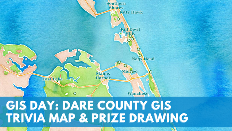
In celebration of Geographic Information Systems (GIS) Day, which will take place on Wednesday, November 17, 2021, the Dare County GIS Department has created an Outer Banks trivia map.
Through the trivia map, users will have the chance to explore various locations along the Outer Banks and to learn more about its unique history by answering a series of questions about the region.
Participants will also have the opportunity to enter a drawing to win a 36” x 36” hurricane tracking map that was developed by the Dare County GIS Department.
The map was released Monday, November 8 and a winner will be drawn at 4 p.m. on November 17.
GIS is a system that allows users to create, manage, analyze, map and visualize the world by connecting the “what” with the “where.” GIS also allows people to more easily identify patterns, relationships and geographic context in order to better influence decision-making, increase efficiency and improve communication, stated a Dare County press release.
The Outer Banks trivia map can be found at https://gis.darecountync.gov/gisday/2021 and additional Dare County mapping resources, including past years’ GIS Day maps, can be found at https://gis.darecountync.gov.

More News


SportsPlus
How to Pick the Flyers vs. Capitals Game with Odds, Spread, Betting Line and Stats – October 22
If you’re searching for best bets for the Philadelphia Flyers’ upcoming contest against the Washington Capitals on Tuesday…
Old Dominion vs. Georgia Southern Oct. 24 Tickets & Start Time
The Old Dominion Monarchs and Georgia Southern Eagles will clash on Thursday, October 24, 2024 at Kornblau Field…
MEAC Football Power Rankings for Week 9
With Week 9 of the college football schedule upon us, which teams are the leading contenders at the…
Sun Belt Football Power Rankings for Week 9
Week 9 of the college football schedule is here. To find out how every Sun Belt team stacks…
CAA Football Power Rankings for Week 9
As we head into Week 9 of the college football schedule, which team sits on top of the…
-
Polls
 Loading ...
-
-