UPDATED: Severe thunderstorms, high winds and dangerous surf predicted
Published 8:07 pm Friday, April 19, 2019
- From National Weather Service 3 p.m. briefing, Friday, April 19.
The National Weather Service is expecting strong storms to hit the coastal area around 4 a.m. Saturday morning.
The cold front will push off the coast between 5 and 6 a.m. Saturday morning.
A strong squall line is producing the severe weather, which the weather service rates a 4 out of 5 in terms of severity.
A High Wind Warning has been posted for Hatteras and Ocracoke Islands starting at 8 p.m. Friday evening through Saturday morning at 7 a.m.
Winds will blow from the south up to 30 to 40 with gusts to 60 miles per hour. In a severe thunderstorm, wind speeds could blow 55 to 75 miles per hour.
Seas will peak around 10 feet Saturday morning.
A High Surf Advisory is in place through 9 p.m. Saturday night.
Conditions will be dangerous for anyone entering the surf. Beach erosion will be likely with the potential for dune erosion and ocean overwash.
On the sounds, three to four foot waves are expected.
The National Weather Service indicates that coastal flooding, if any, will not be major, maybe one foot above ground level.
Up to 1½ inches of rain are expected, but may come is a short period of time and produce some flooding.
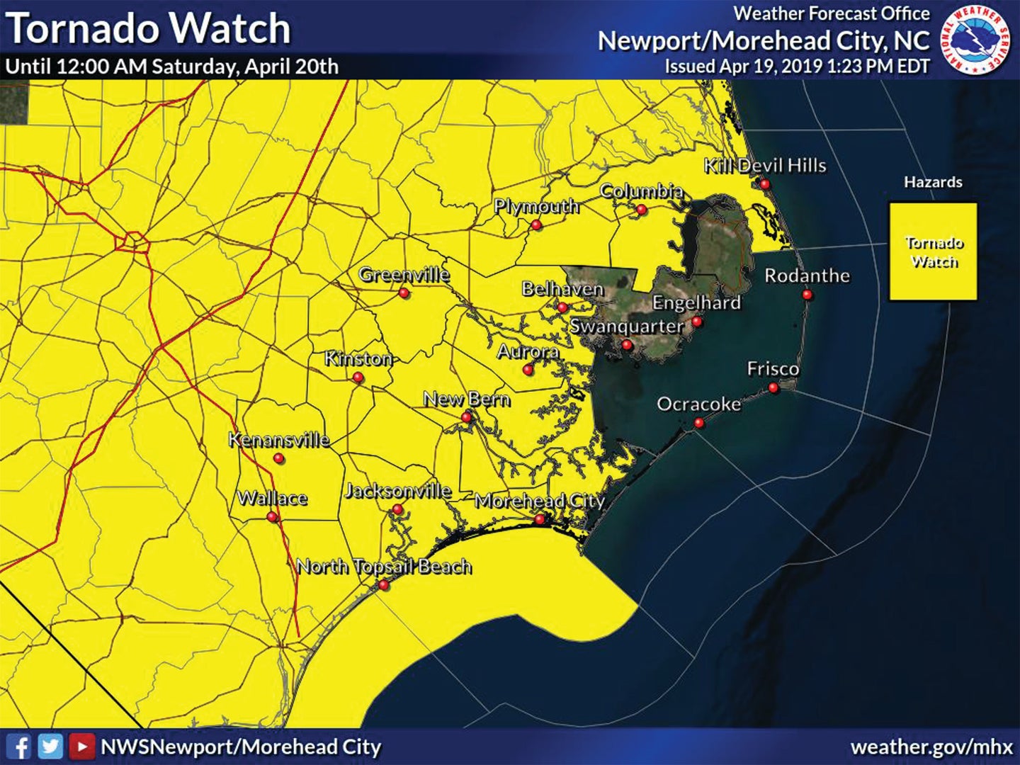
On Friday afternoon, the weather service posted a tornado watch over much of northeastern North Carolina through midnight Friday night.
READ ABOUT MORE NEWS AND EVENTS HERE.
RECENT HEADLINES:
More News


SportsPlus
How to Pick the Flyers vs. Capitals Game with Odds, Spread, Betting Line and Stats – October 22
If you’re searching for best bets for the Philadelphia Flyers’ upcoming contest against the Washington Capitals on Tuesday…
Old Dominion vs. Georgia Southern Oct. 24 Tickets & Start Time
The Old Dominion Monarchs and Georgia Southern Eagles will clash on Thursday, October 24, 2024 at Kornblau Field…
MEAC Football Power Rankings for Week 9
With Week 9 of the college football schedule upon us, which teams are the leading contenders at the…
Sun Belt Football Power Rankings for Week 9
Week 9 of the college football schedule is here. To find out how every Sun Belt team stacks…
CAA Football Power Rankings for Week 9
As we head into Week 9 of the college football schedule, which team sits on top of the…
-
Polls
 Loading ...
-
-